By Peter Szekely
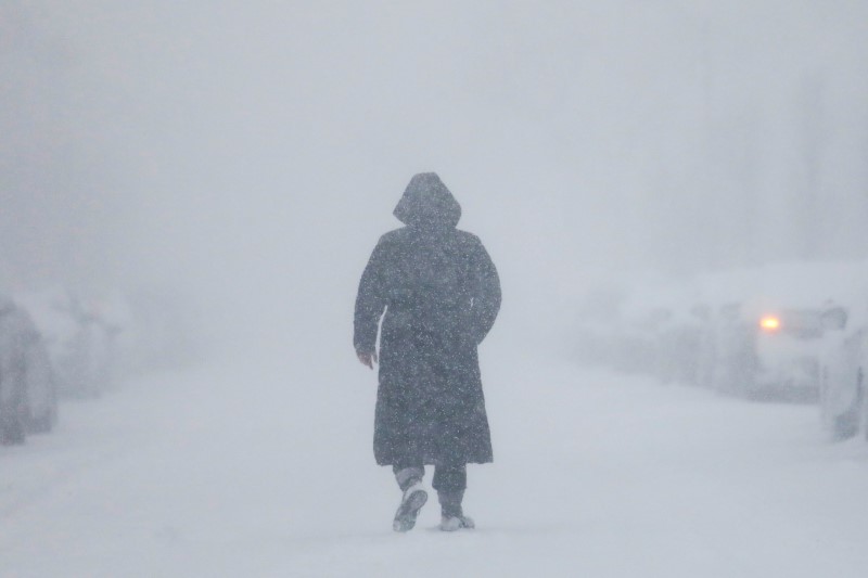
(Reuters) – A late-winter storm this week could dump up to two feet (60 cm) of snow in the U.S. central Plains states, potentially snarling travel and bringing flooding to the Upper Midwest, U.S. forecasters said on Tuesday.
The storm, now brewing as low-pressure center in the southwest, will quickly move into the Rocky Mountains and deliver one to two feet of snow with blizzard conditions in much of Colorado and parts of Wyoming, Nebraska and South Dakota, the National Weather Service predicted.
The biggest air travel hub likely to be affected by the snow is Denver International Airport, but cross-continental air travel lanes could be disrupted as well as the system brings a line of rain squalls eastward, forecasters said.
“The snow will really start picking up by later tonight into the day on Wednesday,” meteorologist Mark Chenard said in a Tuesday phone interview from the NWS Weather Prediction Center in College Park, Maryland.
The storm will also bring heavy rain to areas of eastern Nebraska, Iowa, Wisconsin and Minnesota that already have a good deal of snow on the ground, the NWS said.
“We could have the potential for major river flooding, given the rain and the snow melt,” Chenard said.
An earlier round of heavy, wet snow caused several roofs to collapse in the Upper Midwest last weekend, including those of a church and a hotel.
By Thursday, the storm system will weaken as it moves over the Tennessee River Valley, bringing mostly rain from Michigan southward to the Gulf Coast and some remaining snow only in the far northern parts of the country, he added.
(Reporting by Peter Szekely in New York; Editing by Scott Malone and Steve Orlofsky)


