Important Takeaways:
- Incoming heavy rain from an atmospheric river-fueled storm that slammed into the West Coast early Wednesday is threatening mudslides and debris flows in Southern California and has already prompted evacuations in the Los Angeles area.
- But that’s not all this storm is capable of — its reach and impacts will only get more extreme as the week continues.
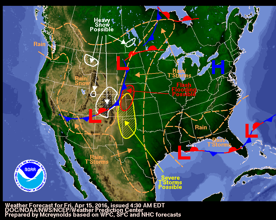
- The cross-country storm will strengthen into an unusually intense March powerhouse by the end of the week and will put millions at risk of wildfires, severe thunderstorms, tornadoes, powerful wind gusts and blizzard conditions.
- A level 2 of 4 risk of flooding rainfall is in place from Santa Barbara to Los Angeles, including areas scorched by the Palisades and Eaton fires, according to the Weather Prediction Center. The storm’s relatively quick pace could help limit widespread flooding in California, but recently burned areas remain at a higher risk for flooding and debris flows.
- Evacuation warnings were issued for other parts of Los Angeles County Tuesday due to the risk of debris flows from the Palisades, Eaton, Franklin and Kenneth burn scars, according to the county’s emergency alert service.
- Places in the mountains could see half a foot or more of snow, with a few inches also falling at lower elevations and potentially in some valleys.
- By late afternoon, widespread strong winds will begin from Nevada and Arizona to the Rockies with wind gusts of 40 to 50 mph possible – especially in mountainous terrain – as the storm starts to strengthen. These wind gusts, combined with rain and snow, could create hazardous travel conditions.
- More than 800 miles of the central US, from western Texas through Nebraska, are under a level 2 of 3 fire weather risk, according to the Storm Prediction Center. Any spark could turn into a wind-driven blaze in these conditions.
- [By Friday] Strong winds that could disrupt travel and damage power lines will whip across the central US, turning from breezy in the morning to fierce by the day’s end.
- Widespread gusts of 40 to 50 mph are likely by late afternoon, with stronger gusts past 65 mph possible from New Mexico and Texas through Oklahoma and Kansas.
- The thunderstorms will become more ferocious and expand by the late evening to pound potentially more than 900 miles of the Mississippi Valley – from Louisiana to Minnesota – into the overnight hours.
- Saturday: Severe thunderstorms, blizzard conditions hit the eastern US
- The intense cross-country storm will expand into more of the eastern US with severe thunderstorms and blizzard conditions.
- Severe thunderstorms could be ongoing in the early morning, especially in parts of the Ohio Valley.
Read the original article by clicking here.


